My map catalog blog describes here some lessons learned and future steps on posting mega data sets on ArcGIS Online. Here is a quick preview but do get the workflow, context and next steps that lead to this:
 |
| click image to enlarge, go to map catalog or to web map |
As I used to say in Calgary: it's not the horse, it's the rider. Meaning don't blame the media, just find workarounds and who knows? something new may emerge!
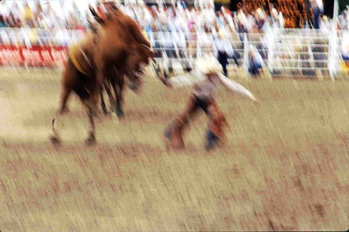 |
| from my Dad's 1978 Calgary Stampede slides here |
No comments:
Post a Comment
Thanks for reading! Please share in Comments your questions & stories...