Here is a small selection of mapping tools available on the iPad. Some are from the Appstore, others simply from the web. These are screen shots that I took for those (thanks my readers for how-to tips).
Mapbox has an iPad app downloadable for free from the Appstore. It also has a neat twist in that files like KML & TileMill and feeds like GeoRSS and GeoJSON can be loaded straight from Dropbox. This is a KML of Amundsen's dash to the South Pole I looked up on the centennial to Scott's expedition.
 |
| click image to enlarge |
The same can be done with Google Earth, better rendered as it's a globe-based iPad app.
 |
| click image to enlarge |
Giscloud.com on the other hand boasts that with HTML5 you need no App as it works perfectly as-is including fondleslabs. Here's a shot of my project on Medieval Fenlands that includes BGS's onshore and offshore geology as web services.
 |
| click image to enlarge |
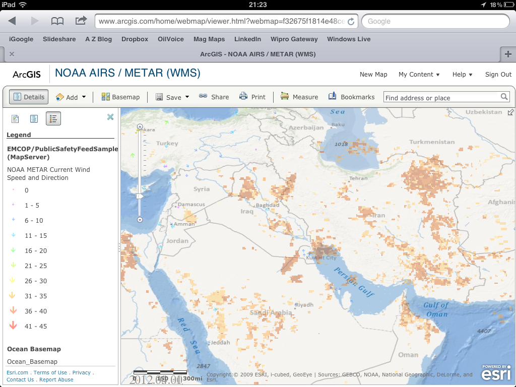
Maps I posted on arcgis.com also show well as-is, for example this real-time DIY weather map for the Middle East: post dust clouds and wind direction from NOAA to see the next storm before it comes!
 |
| click image to enlarge |
I think the coolest however is the wonderful Kuwait Community Map posted by Nishant Arora from Esri's local distributor, that shows streets and buildings in glorious detail. Available on arcgis.com, I think it shows best on Esri's free iPad application.
click image to enlarge

The upshot is that while there is a variety of apps available for iPads - haven't covered paying ones or custom web maps that can be built for fondleslabs, discussed among others by Esri - web maps appear to work just as well. The advent of HTML5 will especially help render vector maps on smartphone limited bandwidth.
No comments:
Post a Comment
Thanks for reading! Please share in Comments your questions & stories...